Oskari at FOSS4G
Oskari recently enjoyed international attention. The limelight was, of course, shed upon Oskari at FOSS4G in Florence. FOSS4G is the annual recurring global event hosted by OSGeo, the non-profit organization that supports and promotes the collaborative development of free and open-source geographic technologies and open geospatial data.
Oskari was presented at the event on several occasions in August. First, Oskari was demonstrated in a half-day workshop on the first day of the event, as well as in two separate presentations that were held later in the week.
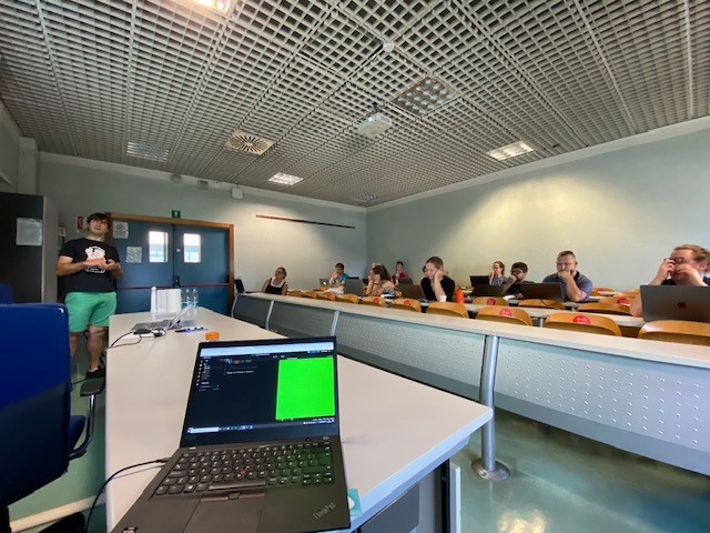
The workshop focused on the ease of building a web-based service with an integrated map component. There were more than 10 participants in the workshop. “It was very nice to see such an international and diverse group of participants“, states the workshop facilitator Timo Aarnio, a Senior GIS Expert. The workshop participants tried themselves how to use Oskari embedded maps. For enthusiasts who wish to try it too, the workshop materials are a mere click away: Oskari workshop materials.
The “state of Oskari” -presentations were divided in two parts: the first part dealt with functionalities for end-users and administrators. The presented new functionalities included new styling tools, map layer analytics and diagnostics tools among others.
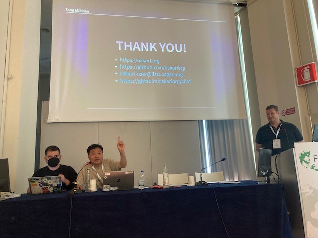
The other “state of Oskari” -presentation focused on the technical developments in Oskari and was targeted to a developer audience. “It was a pleasure to present these new features to our international colleagues,” says Senior IT Specialist Sami Mäkinen from the National Land Survey of Finland. “We have recently made some major improvements and created new features and functionalities in cooperation with partners like the Finnish Transport Infrastructure Agency”. You can read Sami’s presentation here.