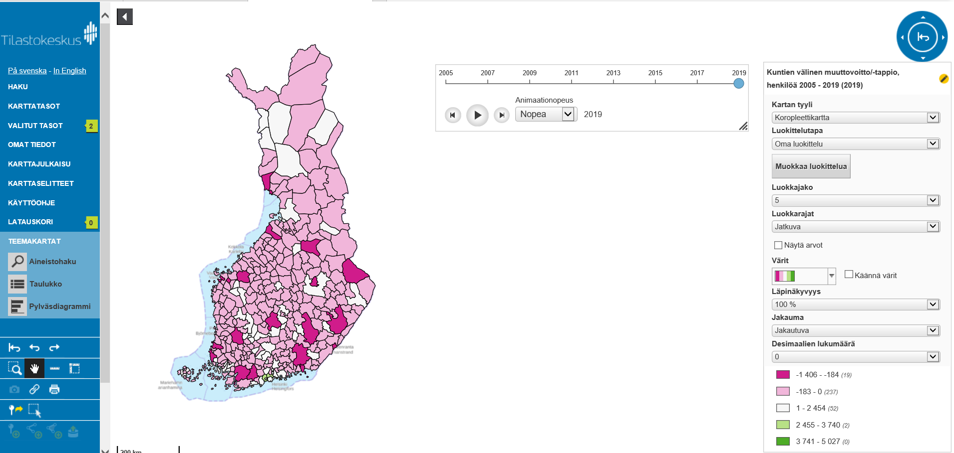
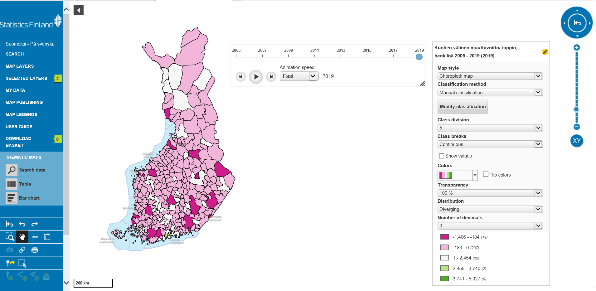
Statistics Finland has a brand new Oskari
All of Statistics Finland’s open geospatial data sets are available in Statistics Finland’s new map service (from 2018 onwards).
The data include municipality-based statistical areas, Paavo postcode areas, educational institutions, industrial and production facilities, and road traffic accidents.
As statistical data, the service includes population data by municipality-based statistical areas and statistical grids (1 km x 1 km and 5 km x 5 km). All map layers can be found as both WFS and WMS web services.
In the map service, it is also possible to make statistical thematic maps. The available statistical data behind is the Municipal Key Figures service data used via PX-Web API. In addition to thematic maps, it is also possible to view data as time series. The service also has a Download Basket function, which allows you to download geospatial data sets for yourself.
Enthusiasm towards open source and joint development
Statistics Finland has been involved in the Oskari network since the beginning. Supporting joint development and favoring open source solutions are also Statistics Finland’s objectives.
Statistics Finland chose purchasing the service from a service provider. Sitowise Ltd has done work in building the service, but the intention is to utilise also other Oskari development companies in the future.
What’s next?
The publishing system of Statistics Finland’s website will be reformed. The goal is to incorporate the Oskari RPC solution into web pages when it is only technically and content-wise possible.
Statistics Finland’s map and geospatial needs are very diverse, so it is possible to include other technological solutions if this is seen necessary.
Oskari is awesome and it is hoped that it will be better utilised in Statistics Finland’s services as well.
In the case of large datasets, developing data standards to be interoperable with geospatial information technologies is a big challenge. Fortunately, that is also happening, so we are optimistic about the future!


More information: Rina Tammisto Statistics Finland
