Oskari and 3D
As from Oskari version 1.54 Oskari has had the ability to handle 3D datasets. Oskari supports 3D Tiles which is a OGC Community Standard. Documentation for Oskari 3D can be found here.
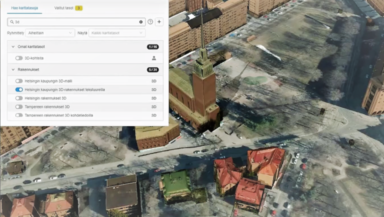
Check out 3D possibilities in e.g. Paikkatietoikkuna. Choose 3D view and add datasets – you can find them by e.g. typing “3D” to the search.
You can add also textures to buildings. Terrain data can be measured with terrain profile. You can also add you own POIs on top of the 3D model.
CityGML into Cesium
Hanna Visuri demonstrated the use of 3D tiles in Oskari in a webinar in Finnish (3.12.2019).
The datasets used in the demo have been created using FME to convert CityGML into Cesium 3D tiles. Available datasets are from cities of Tampere and Helsinki. Tiling has been done by NLS-FI.
Oskari RPC can be used to create camera views over the data. The request handles camera points and angles at the moment.
Future plans
More to come soon: adjusting time of the day (shadows), camera controls and admin-side support for Cesium Ion hosted datasets.
Next steps: drawing of 3D features, bring feature information as a table and style information based on attribute table.