Oskari & OSGeo were on tour
It was a brilliant open source tour through the whole of Finland in October!
This was the fist time we arranged a tour with OSGeo Finland association and Oskari Community and met open source people of cities of Turku, Tampere and Joensuu. The aim was to learn new things with FOSS4G tools and get familiar with Oskari RPC.
We used the workshop material provided for FOSS4G 2019 Bucharest conference. With those instruction we were able to get to the bottom of the realms of Oskari’s embedded maps and API. Thanks for the instructions, NLS-FI Oskari developer team!
The event was in Finnish and presentations can be found here. Thanks again for all the participants and organizers!

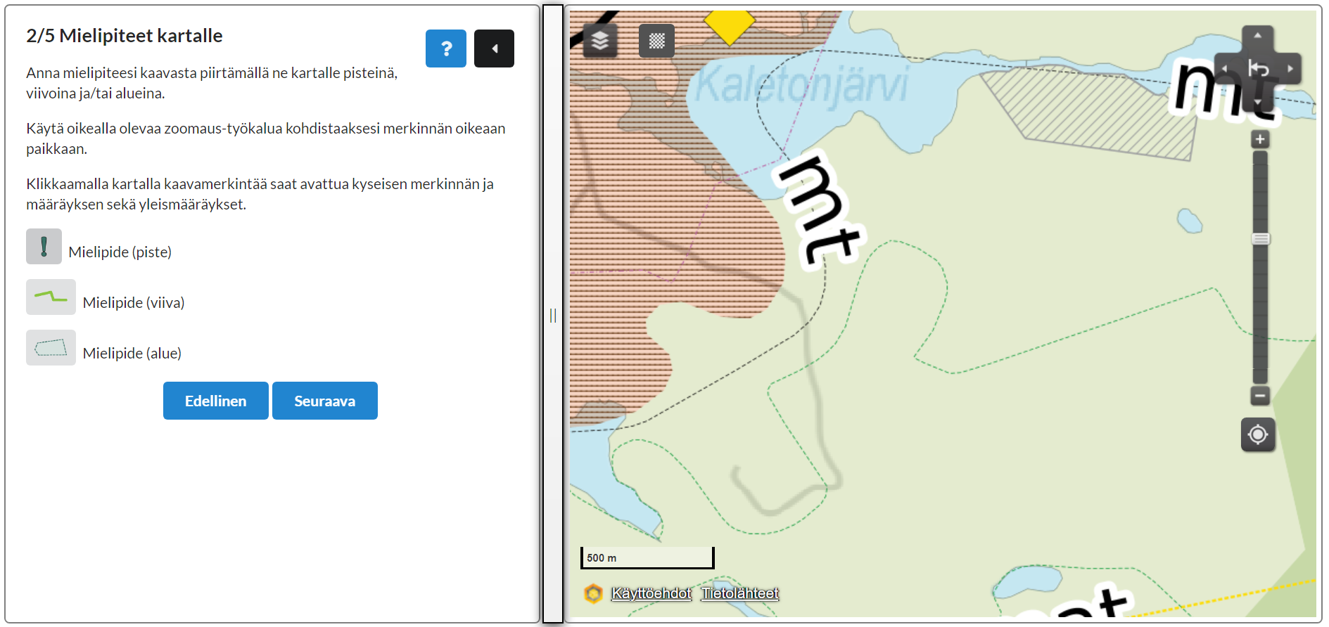
Public participation is part of the land use planning process. In Tampere they have all the datasets in their Oskari installation, so it was convenient to create a simple query form on top of Oskari embedded map.

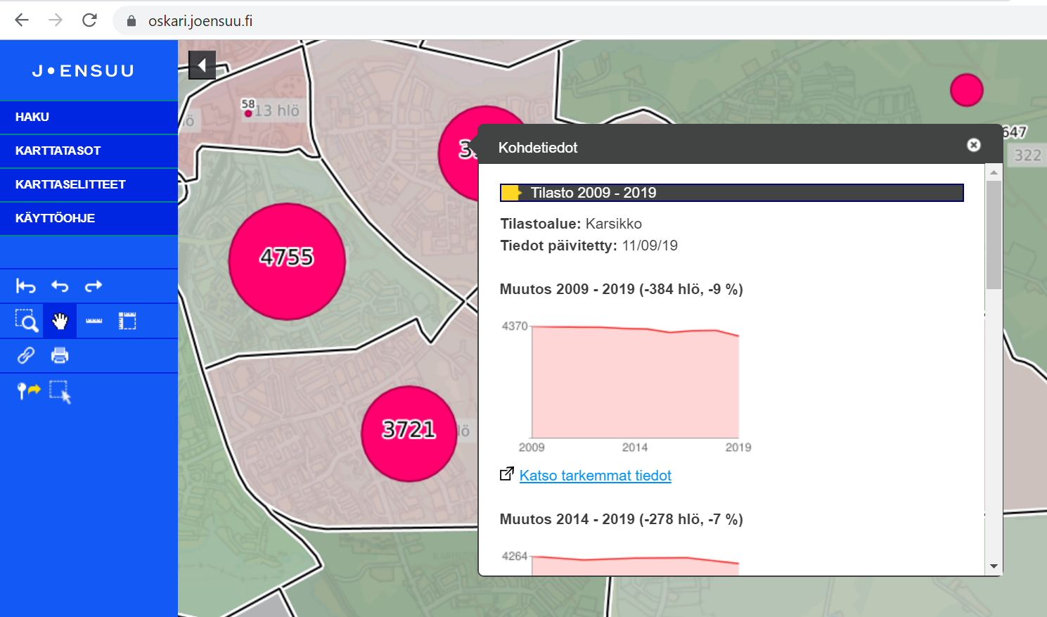
City of Joensuu has taken Oskari in use during this year and they have created nice looking info-popups with GeoServer GFI and Google Charts API.

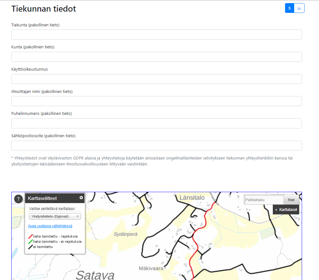
Private road management information can be informed with a form using Oskari embedded map.
Here are some of the best ways we found out Oskari was used during the tour
- Private road information form has been created using Oskari embedded map and RPC, provided for Väylä by Sitowise Ltd
- SeutuAtlas, a tool for checking the solar potential of buildings in Helsinki, provided for HSY by Sitowise Ltd
- City of Tampere, Oskari installation with role based layer control provides around 600 map layers internally and around 200 layers for public use
- Public participation query tool with Oskari was created for use of general land use planning in Tampere, provided by Erno Mäkinen, City of Tampere
- City of Joensuu, Oskari installation with GFI integration with Google Charts API
Other interesting FOSS4G cases:
- Potree for point clouds, needs web-service environment for setting up, installation used in City of Turku by Niko-Petteri Salo
- Service point map, installation for City of Turku, developed originally by City of Helsinki
- Cesium-based 3D map service in Tampere is assembling the growing amount of drone data gathered in City of Tampere
- QGIS and PostGIS setup for CO2 calculation provides possibilities to predict future emissions, by Ubigu Ltd, Tietotakomo and Gispo Ltd
- SPARQL provides possibility to link statistical and geospatial data
- ProMS-platform by Arbonaut Ltd provides e.g. a possibility to calculate tree polygons from aerial imagery and analyze if they cross electricity lines. ProMS uses different FOSS4G tools in the background.
- R tool for statistical and geospatial analysis revealed that the countryside in Finland is not totally empty, just during the last statistical day of the year.
